Mapping built for decisions, not decoration
Any platform can drop pins, but Konexus transforms your map into a living operational picture.
By pairing advanced ESRI mapping with custom layers and drawing tools, you can see exactly where an incident is unfolding, who's affected, and what's nearby — then layer in facility data, indoor floor plans, and emergency plans to move from situational awareness to decisive action, all in one screen.
Draw, reach, and respond
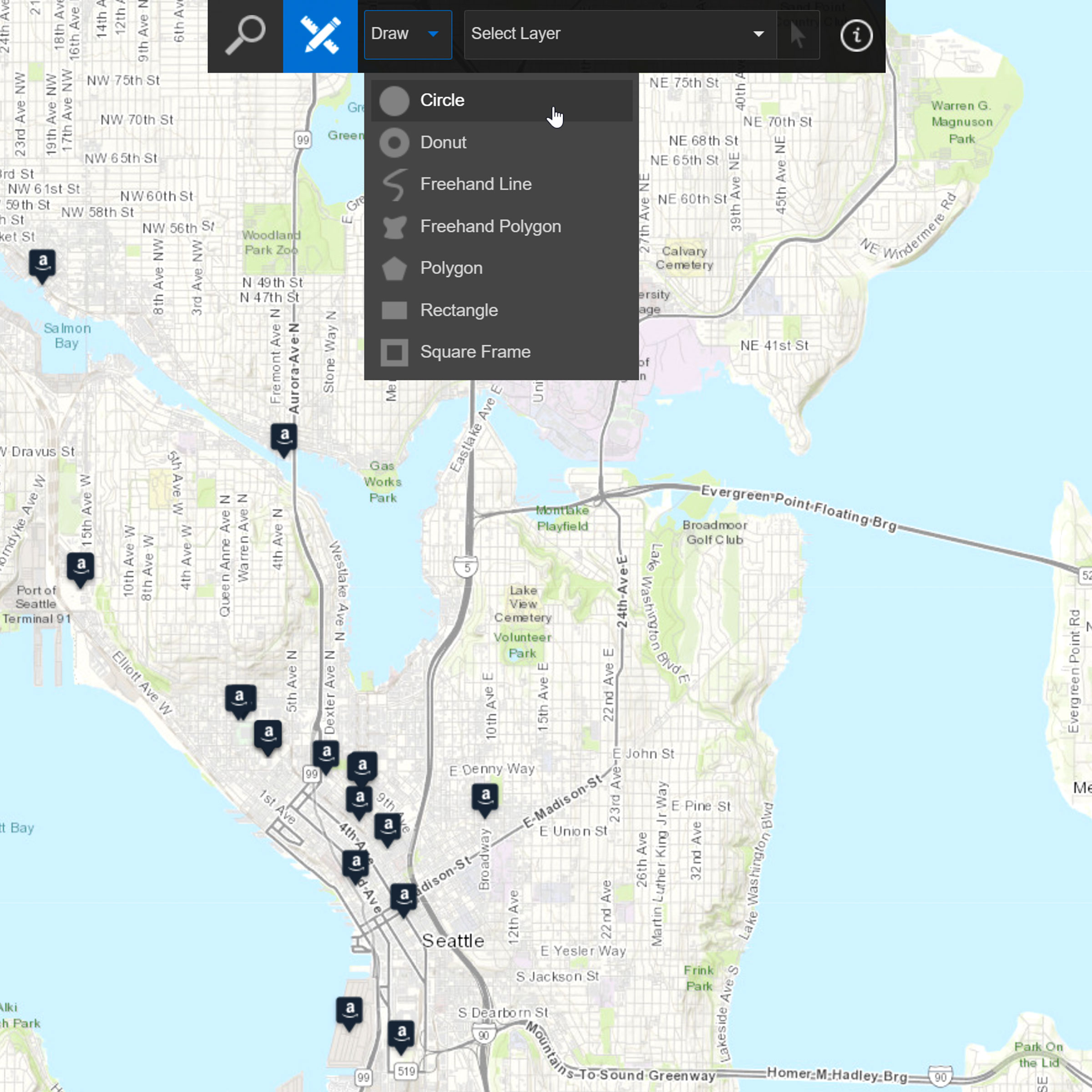
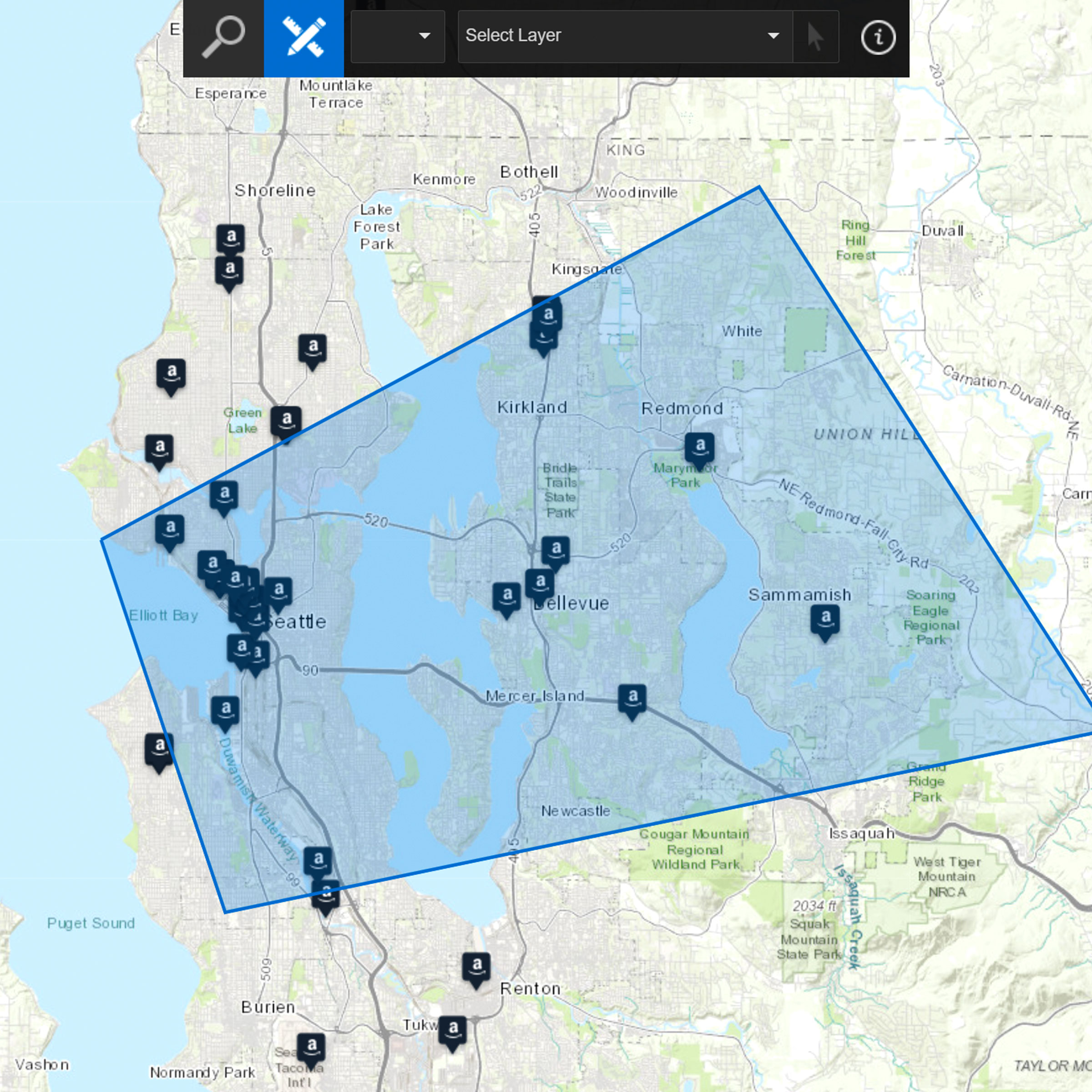
Geofencing lets you draw an area on the map and instantly target every person inside it for communication — no manual list-building, no missed contacts.
When a threat is geographic, your alert should be too. And when responders arrive, their actions should be just as precise — informed by the most relevant facility and premise information, so every decision is backed by accurate, real-time context, not guesswork.
Triage with the full picture
Layer your incident data, locations, and contextual information onto one view to assess impact fast and prioritize where it matters most.
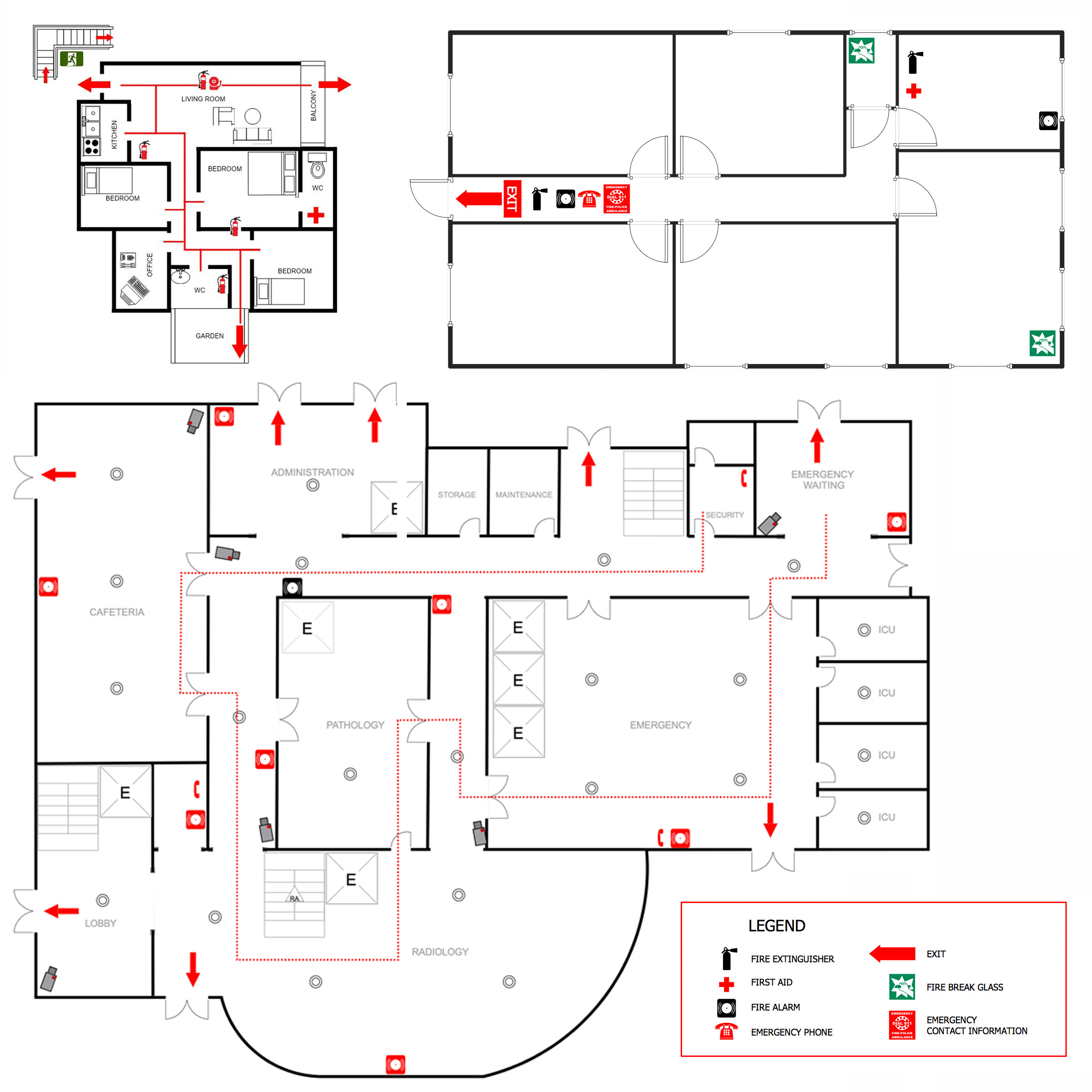
Get a bird's eye view of an entire incident down to facility-specific details, indoor location, and floor plans — all with key premise information at your fingertips.
Pinpoint critical assets like AEDs, utility shutoffs, and fire systems the moment responders need them, so no one is guessing, searching, or losing precious seconds when it matters most.